Salmon Falls River

Background:

This is all related to a lawsuit filed by American Whitewater against the Federal Energy Regulatory Commission's approval for Aclara Meters, LLC to surrender (ie, abandon) two dams part of a hydro project on the Salmon Falls River in Sommersworth, NH.

Related documents:
AW Petition for Review by the US Court of Appeals, DC Circuit, No. 23-1291
Skip Morris Declaration needed to prove 'Standing'
Oral Arguments before the US Court of Appeals Case 23-1291, 20-Nov-2024 (mp3 format)

Site visits with photos 18-Mar-2024, 27-Apr-2024, and 10-Aug-2024. River information from NH DES and USGS StreamStats.

River appeared medium to medium-high level in March, and too-low-to-boat in April.

There is no local gauge, the closest is ~15 miles upstream at the outflow of the Three Ponds Dam in Milton, NH. The outflow of the dam was ~420 CFS on 18-Mar-2024, ~60 CFS on 27-Apr-2024, and 78 CFS on 10-Aug-2024.

The historical record from the Dam shows for the period 1-May-2022 to 30-April-2024 the dam flows ranged from 13 CFS to 2300 CFS (available from NH DES.) The Three Ponds Dam output is operated "run of the river" for most of the year except when switching between Summer and Winter reservoir lake levels (Winter level is 3' lower then Summer.)

In Milton the river drainage is 107 square miles with a Mar-16 to May-31 "70% Flow" of 178 CFS (as per USGS StreamStats). 
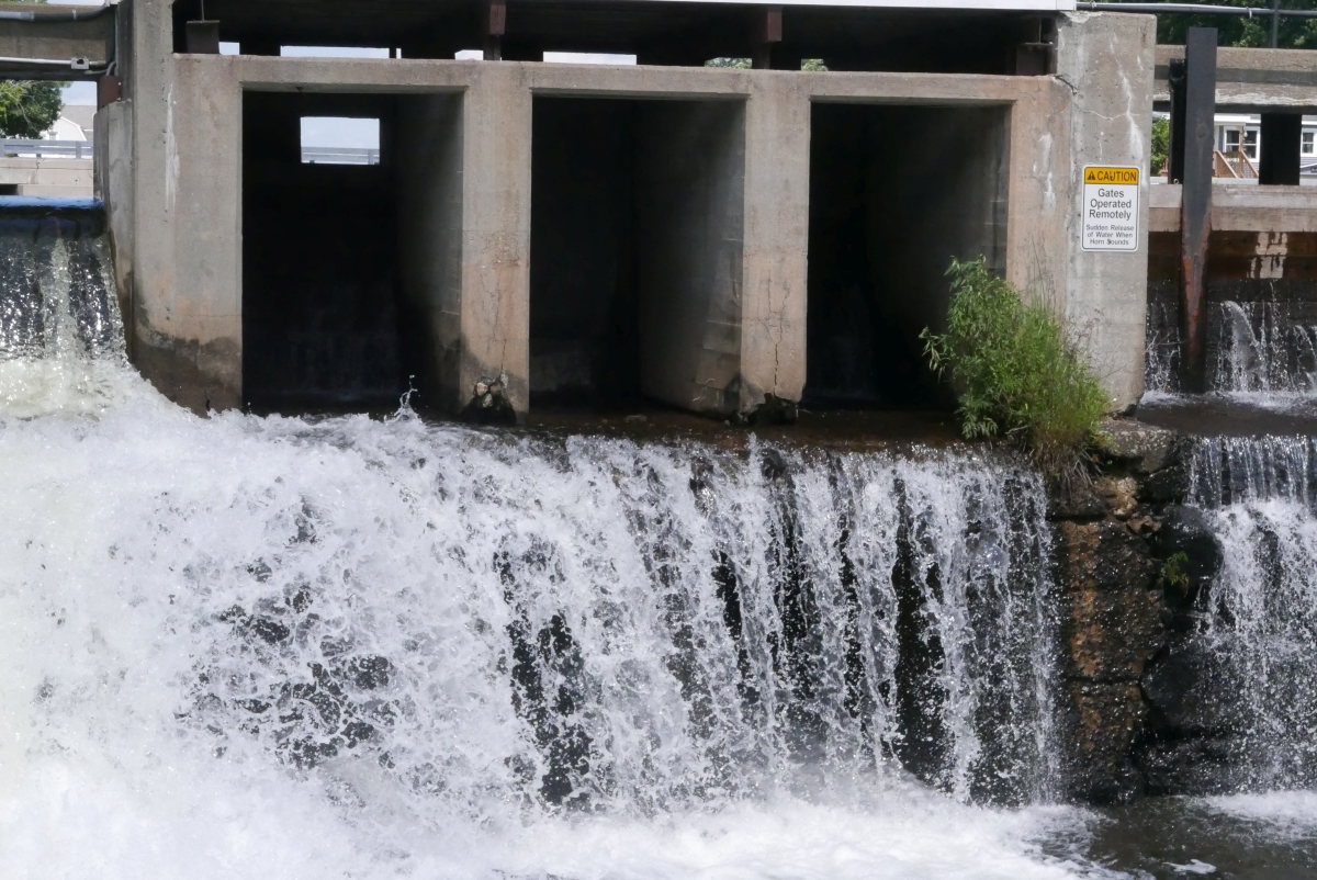
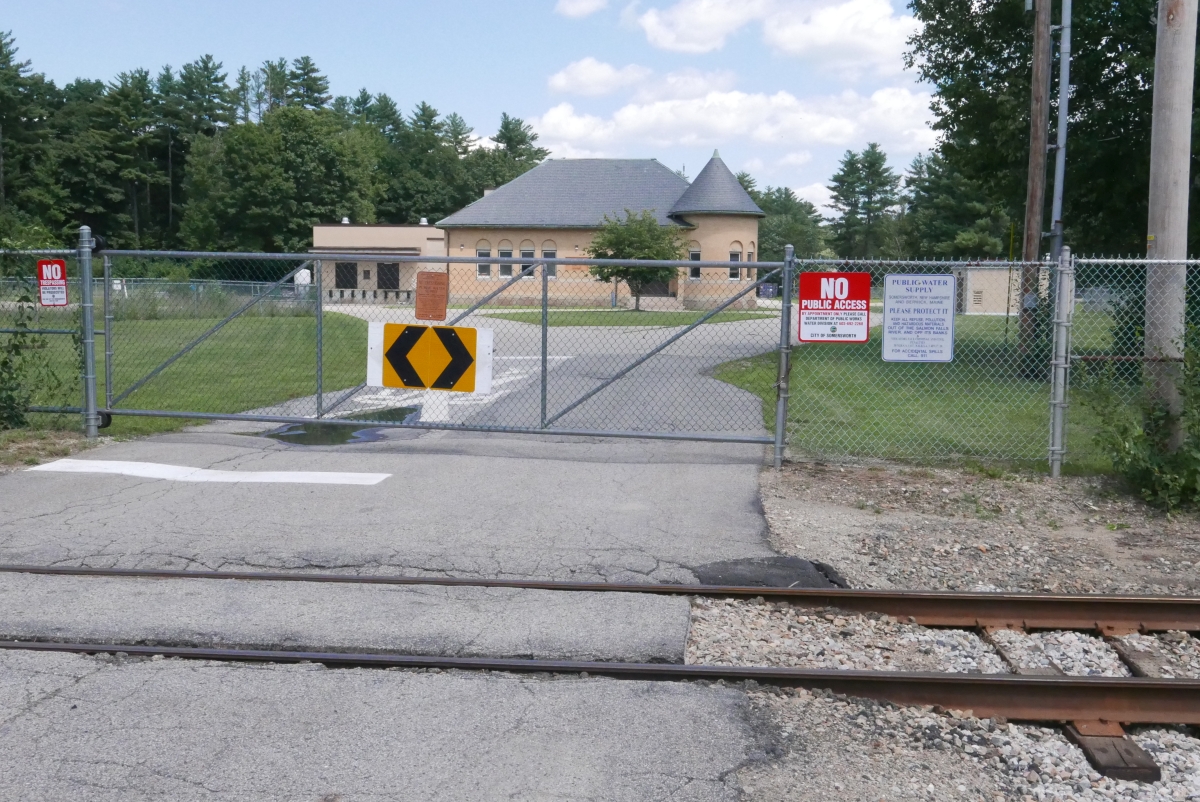
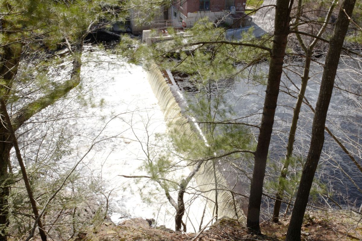
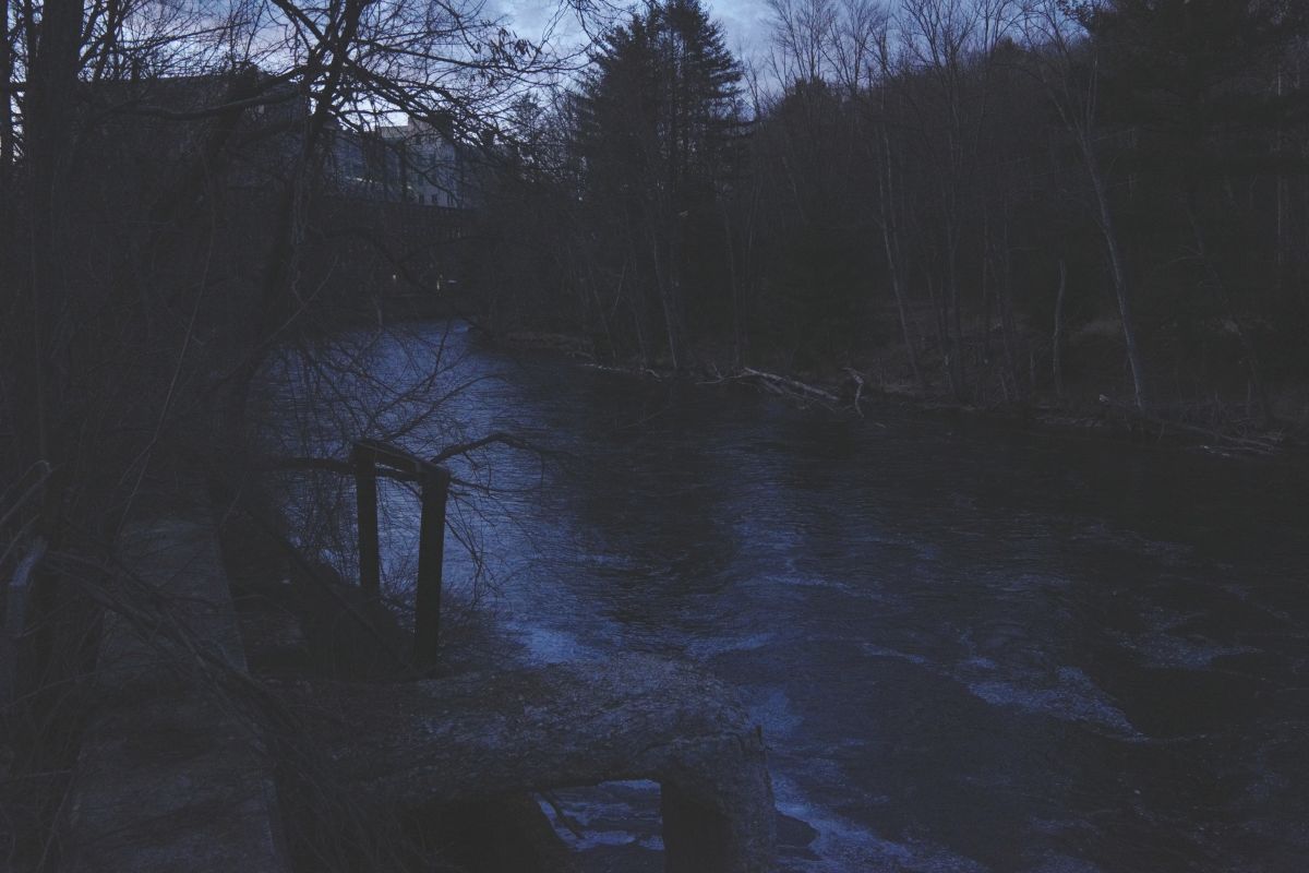
The river in Somersworth by the upper dam has a drainage area of 222 square miles with a Mar-16 to May-31 "70% Flow" of 345 CFS. (StreamStats defines "percent flows" as the percent of time the river is above that level for the specified period.) Comparing the numbers, the approximate flow in Somersworth can be computed by multiplying the Milton flow by 2.05 (+/- 0.15). (This ignores the fact that the current takes 10 to 20 hours for any changes in Milton to be reflected in Somersworth since Somersworth is about ~15 miles downstream of Milton.)

StreamStats Report for Salmon Falls River at Three Pond Dams in Milton, NH.
StreamStats Report for Salmon Falls River at Sommersworth, NH.

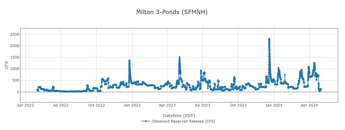
Analyzing these numbers and the StreamStats reports I'd estimate the flow in Sommersworth was ~875 CFS on 18-Mar-2024, and ~120 CFS on 27-Apr-2024. 
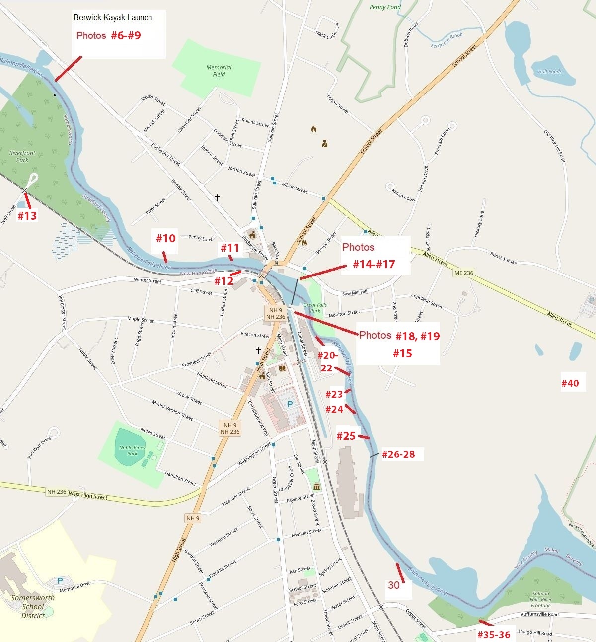
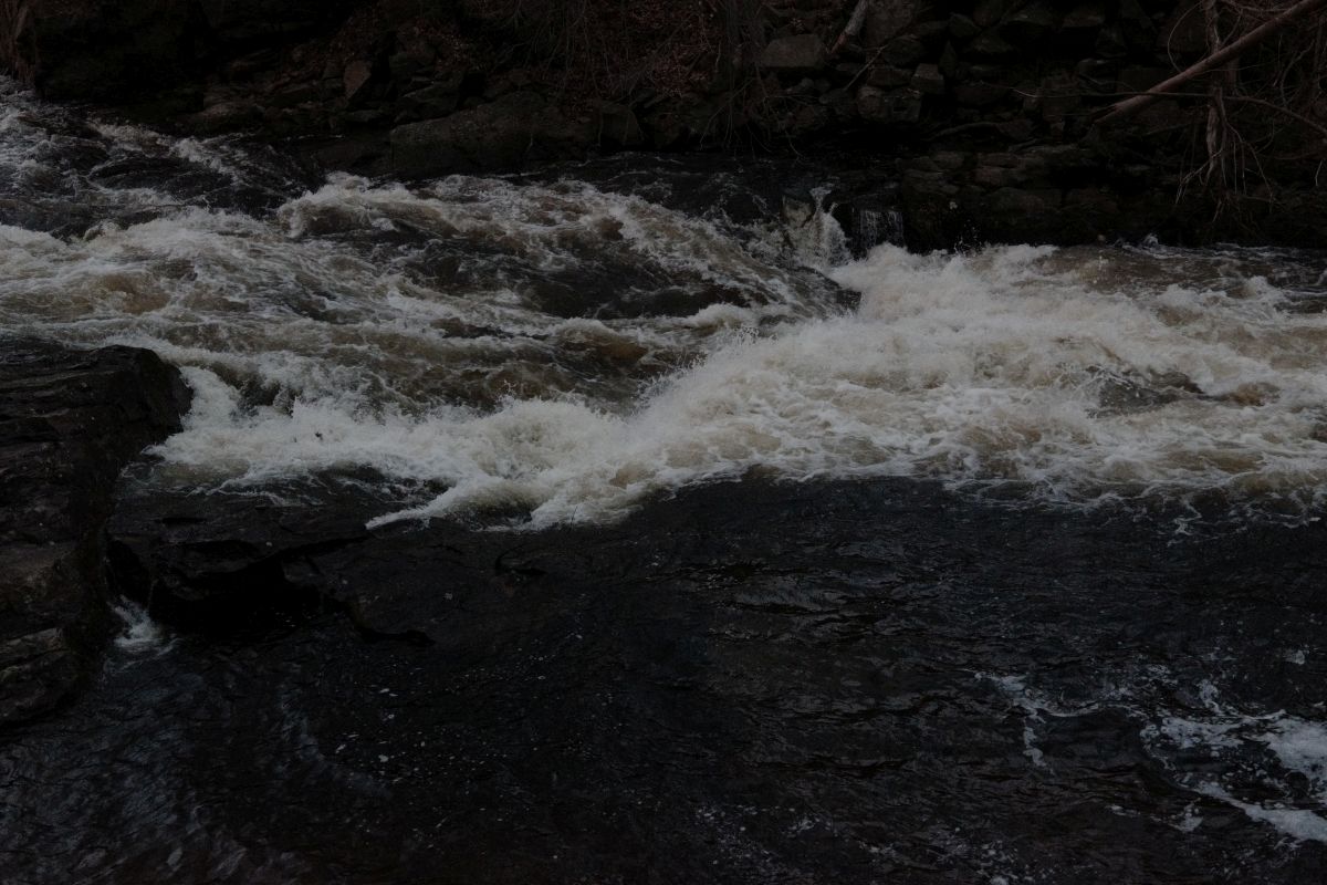
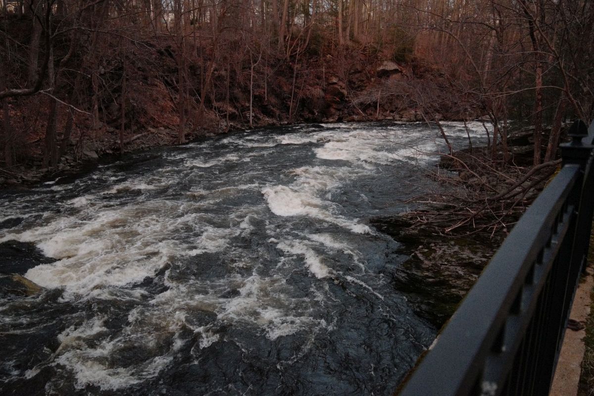
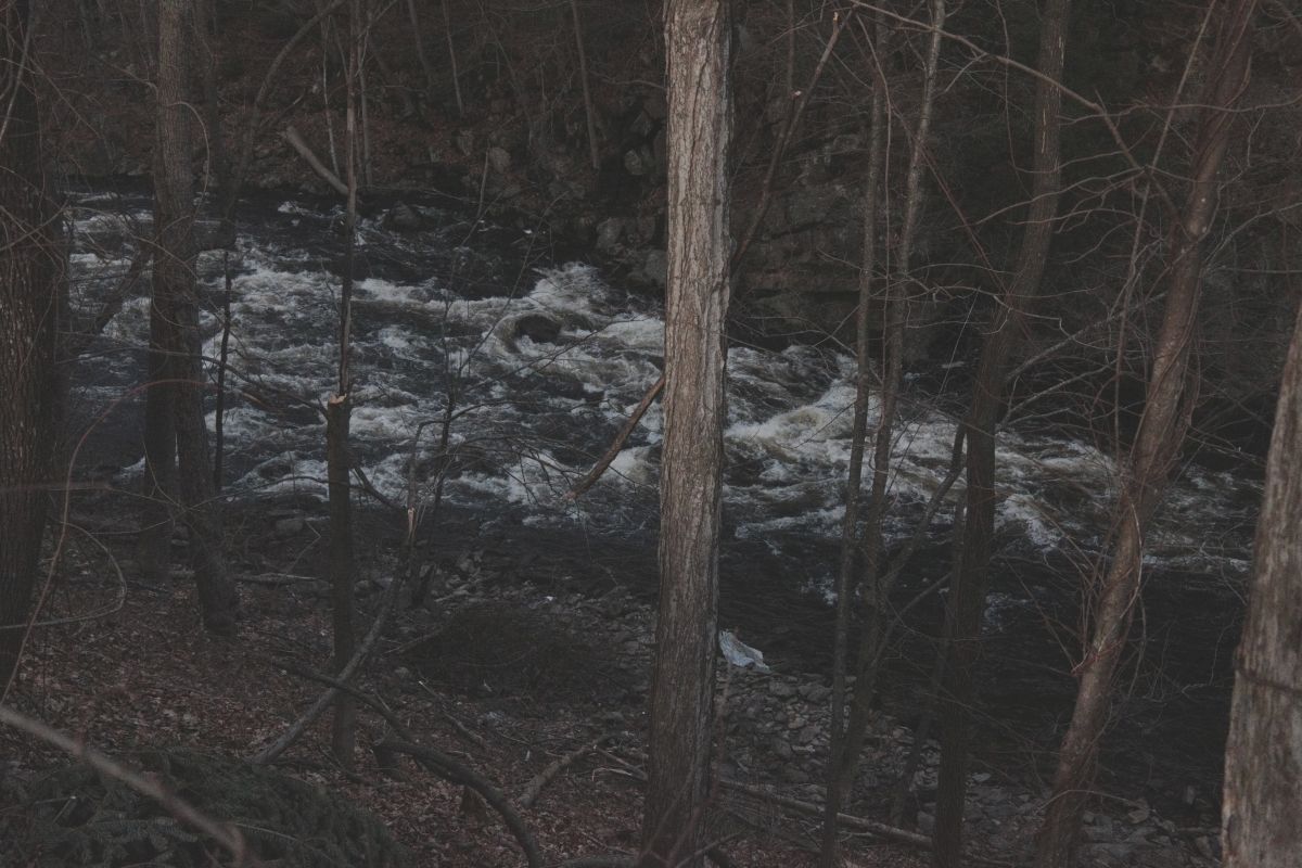
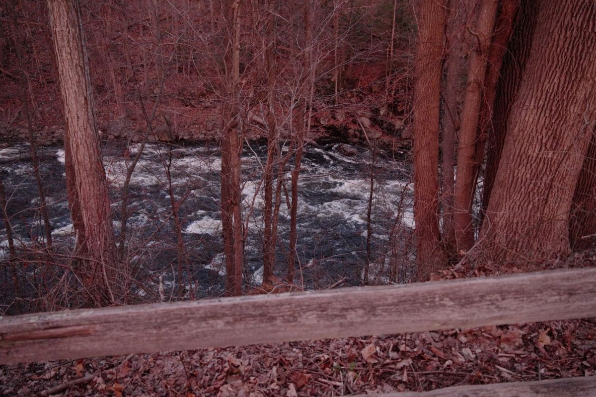
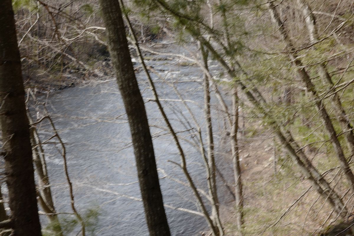
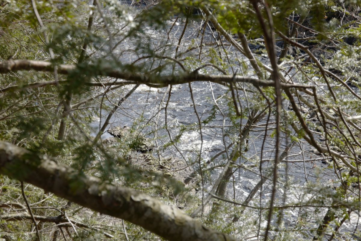
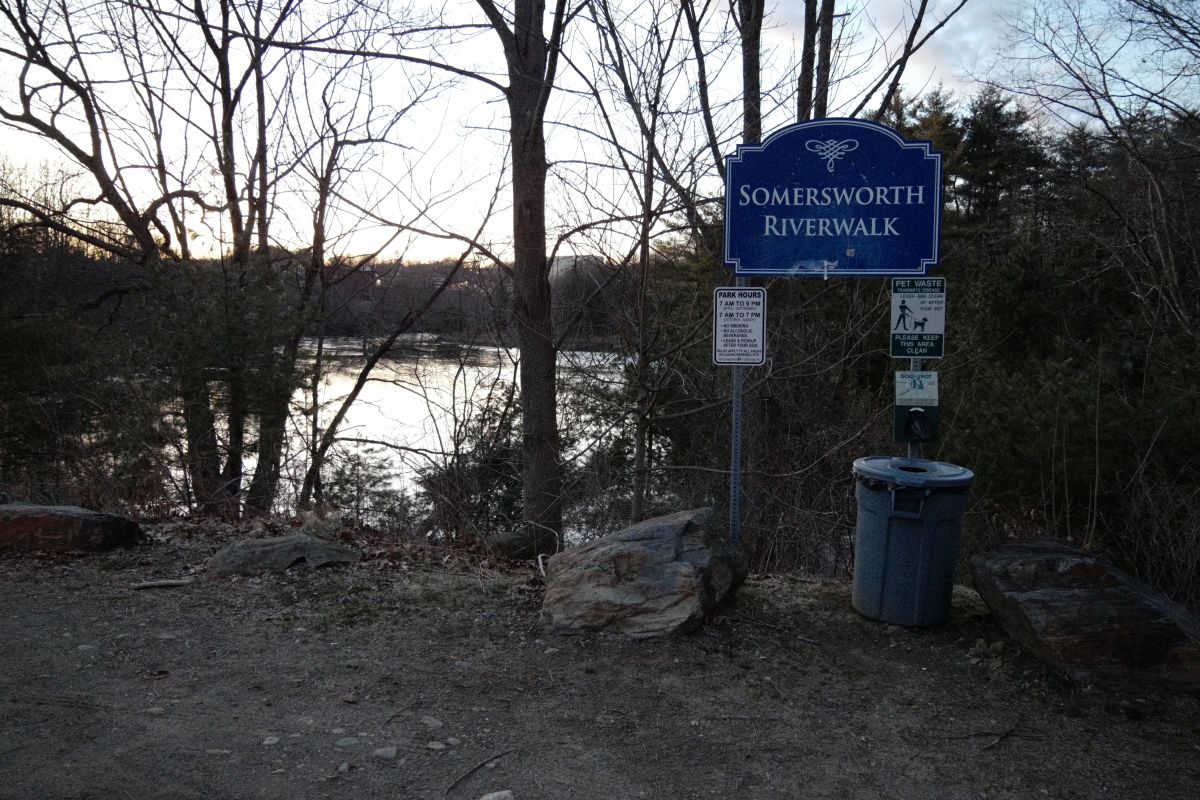
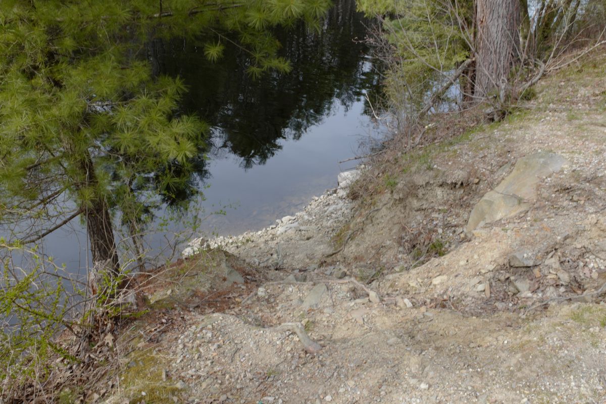
From the visual observation of the river at these levels I'd initially define boating ranges on this section to be "LOW" (the lowest limit for boating) equal to 300 CFS, and HIGH (the upper limit) equal to 2000 CFS (both numbers are flow estimates in Sommersworth, not Milton). We'd need to closely examine the river at higher levels to determine the safe upper limit. Additionally multiple trips at various levels would be needed to make a more exact determination of the low and high limits.

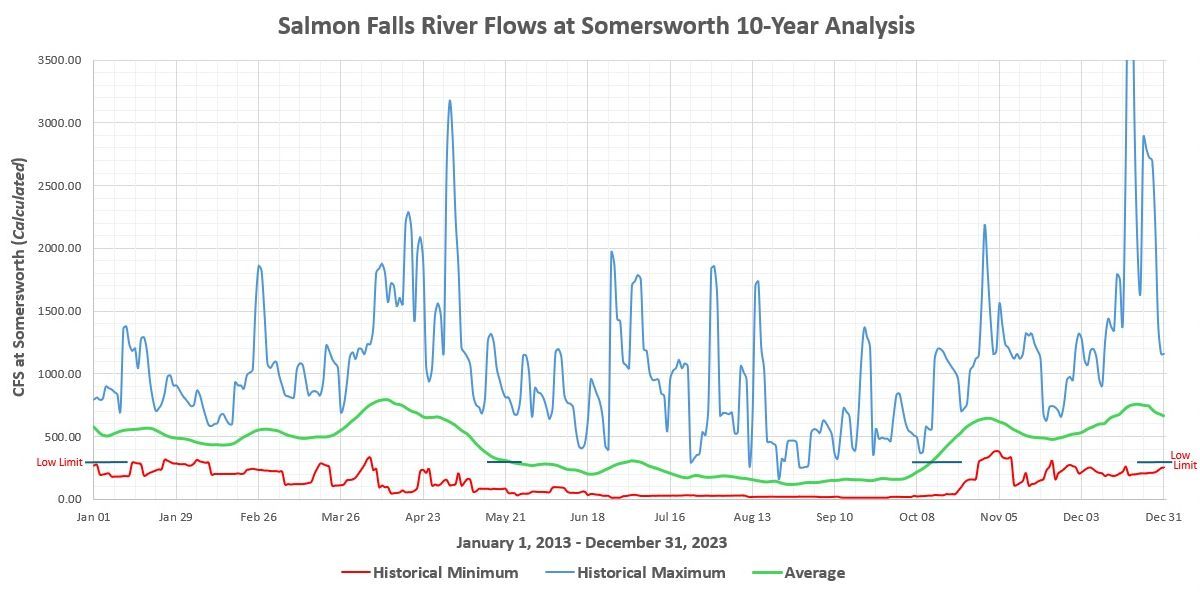
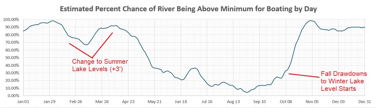
The estimated flow in Sommersworth for the past two years was above 300 CFS for about 250 days each year, and above 2000 CFS for 7-10 days each year. This works out during the spring runoff the river will be boatable about 75% of the time. Since 250 days is much more than the 75 days in the Spring the river is boatable for much of the year. The below charts show an analysis of ten years of river levels and boatability (2014-2023).


Map of Salmon Falls River in Somersworth showing photo locations.

OpenStreetMap of downtown Somersworth, NH and Berwick, ME. Route 9 crosses the river in the downtown area just upstream of the dams and whitewater rapids.


01. The river begins at the Three Ponds Dam outflow of Salmon Falls River Reservoir/Milton Pond/Northeast Pond about 15 miles north of Sommersworth.

02. The gates at the dam are remotely operated.

03. There is a public kayak launch just upstream of the dam on the Maine side of the river/ponds.

04. The river between Milton and Somersworth is mostly flatwater with a couple of small rapids. This photo taken August 10th.

06. Berwick Kayak Launch, about 1/2 mile upstream of Route 9 Bridge in Somersworth.

09. The launch has steps leading down to the river; you can't back a boat trailer down. There are floats next to the launch in the Summer.

10. The river appears deep here; it's possible some power boats use it as well.

11. Just upstream of the Route 9 bridge there is no easy river access.

12. On river-right (NH side) there is no easy river access either next to a railroad line and steep bank down to the river.

13. Upstream on river-right the maps show a "Riverfront Park" (also called "John Parson Park" on Google Maps), but access is gated and locked by city facilities next to the park. This could potentially make an excellent launch point for river access in New Hampshire since the railroad tracks are no longer near the river, and it's a city-owned park area that is undeveloped.

14. The first dam "Stone Dam", is located about 100 years downstream of the Route 9 bridge.

15. I was told by locals you can walk across the dam in the Summer.

16. River-left just below the dam is starts with a Class IV drop. Great Falls Park is along the East side of the river (Maine) extending from the Upper Dam for about 0.2 miles. Unfortunately there is no public parking, there is heavy brush throughout, and it is a steep climb down to the river making it a marginal put-in location.

17. The class IV is currently not boatable due to strainers (which could be easily removed). Note the area immediately below the dam is full of rocks which would make boating difficult even if the dam did not contain a dangerous hydraulic.

18. On river-right is a power house controlling the divirsion canal used to supply hydro-power to the Aclara Plant (formally a GE plant). Aclara has closed this facility and moved to the Pease Tradeport in Portsmouth.

19. The canal extends down to the Aclara Plant.

20. The first large building on river-right has class III rapids along the river.

21. A gnarly class III drop here by the building. There is a slot in the center.

22. Below the drop, the class III rapids continue.

23. Good view of the river, but no river access here.

24. Past the building the rapids continue. I'd guess the class III rapids are about 1/2 mile in length.

25. Here the rapids continue past the Aclara plant to another dam. I couldn't get any photos from river-right as the Aclara security guard did not allow access. This shot taken from the upstream edge of the Aclara properly line.

26. Upstream of the second dam showing rapids extending close to the dam indicating if the dam was removed there would be a steep gradient starting here.

27. View of the second dam "Back Dam", from river-left. There is a steep cliff leading down to the dam which would be very difficult to climb. There is no easy access on either side of the river to put-on or take-out. Even at low level (as shown in this shot taken in April) a hydraulic exists below this dam.

28. Below the dam the rapids continue for a short distance.

30. Below the Aclara plant it's flatwater. This shot taken at the downstream plant property line.

35. Further down is the Somersworth Riverwalk. It's a short trail down to the river. The park is just under 10 acres, and the trail is slightly less then a mile long. Reviews say the view is wonderful (especially in the fall).
Riverwalk page on Somerswirth City Web Site
Riverwalk Map
Riverwalk info on AllTrails.com

36. Along the trail there is easy access to the river to put-on or take-off. From here it's a short walk back to the parking area.

40. On river-left (in Maine) and slightly downstream of the Riverwalk, the Newichawannock Woods area (part of the Great Works Regional Land Trust) has trails leading down to the river as well. This area might be preferred since it's more private and has lots of parking.

All unattributed photos ©2024 Skipper Morris.

The SalmonFalls page has been viewed times.